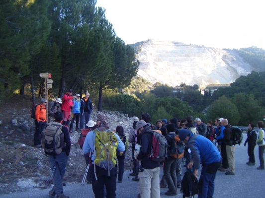
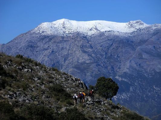
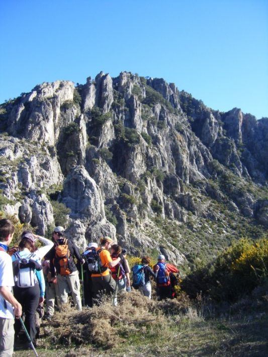
Between Monda, Ojen and Istan. Distance approx. 22 km. Elevation approx. 1,200 m Starting point: Ojen (365 m) Highest point: Picacho Castillejos, (1,232 m) Approx. 8 hours Difficulty Level: medium-high Type of terrain: forest trail the first few miles up the Loma de Los Cuchillos (Hill of Knives) and the Olivar de Juanar. The rest was rocky trails, sandy fields along the crest and through in a couple of short but intense stretches. Type of course: Linear. Date: Saturday February 5, 2011, wonderful day of clear skies, light breeze from the east, snow still remaining from the previous week in the Sierra de las Nieves and La Maroma.
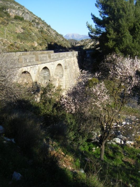
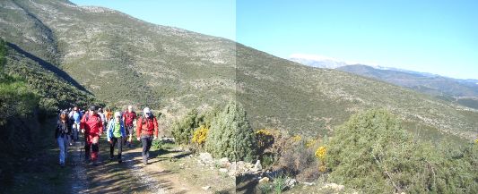
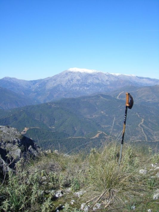
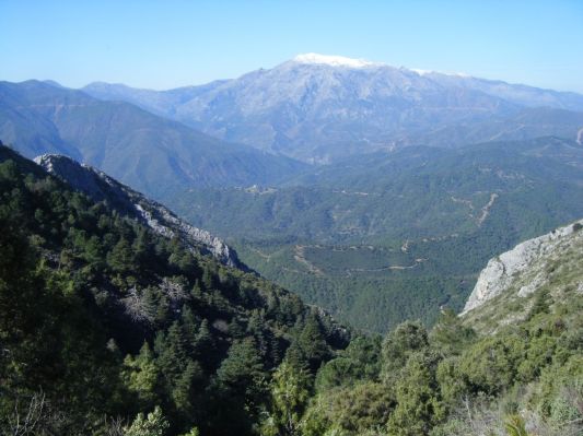
After the first crossroad at about 800 m. from the start, we left the paved road, taking a track on the left, heading south. We start the climb towards our objective, leading to our left the stream Cañada Canucha that separates us from some orchards where almond trees were already blooming. Without respite, we were gaining height between rolling hills populated by Mediterranean scrub, up to "La Fuente de la Palma" (620 m.) where we stopped only for a short while, as we had only just started the route. We continue in long zig-zags to the end of the lane, where enjoyed the view to the north of the first snow of the mountain Sierra de las Nieves, the unmistakable silhouette of the Sierra Prieta and Alozaina and Yunquera Cabrilla, and much of the Guadalhorce Valley to Teba, the Huma, and the nearby town of Monda crowned by its castle.
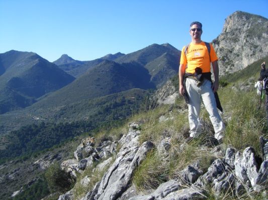
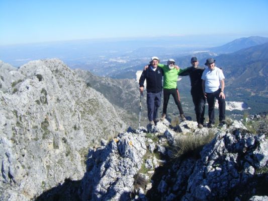
With its sights set on the crest increasingly close to us, which highlights the pyramidal shape of the Alto de Canucha or knife, we were walking at a brisk pace but not without caution. We finally reach Alto Canucha o El Cuchillo(1.206 m) where we regrouped for a small pause. That was our first peak of a total of three! We then give a final push to reach pico Castillejo (1.238 m), offering amazing views of Morrocco, Sierra Blanca, and Sierra Nevada in the distance to the East.
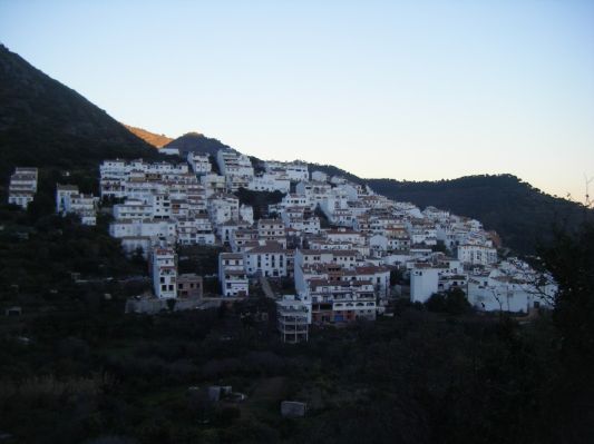
After having our (extended) lunch, we continued along the crest of the mountain range towards Ojen, walking through a forest of "pinsapos". We then followed the zig-zagging path that leads to the beautiful pine forest of Juanar, reaching in few minutes the famous three way crossing: Istán where we came from the west, La Concha south towards where he would continue climbing the to crown the Cruz de Juanar peak, and Ojen-Juanar Refuge to the east, an option that some of us chose for various reasons, ranging from the wisdom of peers who did not want to force themselves more to the necessity of returning to work at 8:30pm for others! So after the three peaks it was time to start the descent towards the village of Ojen, passing from the botanic garden of the village.
I'll let the pictures fill in the gaps of the description:
